


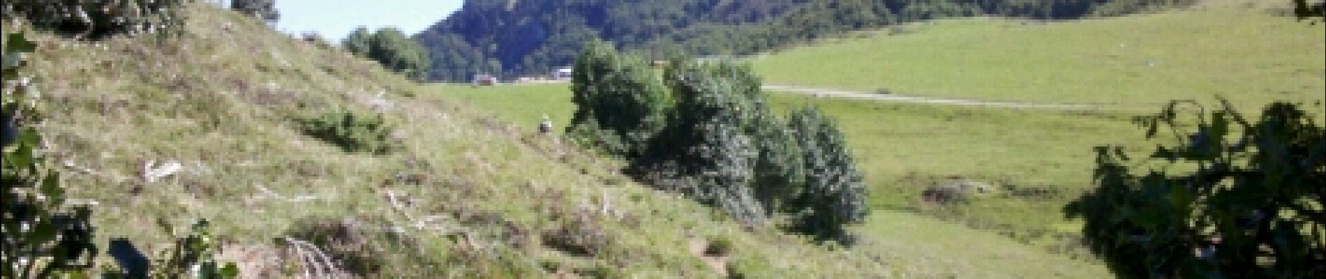
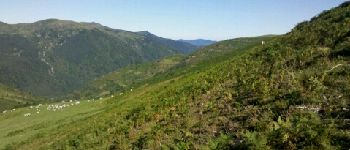
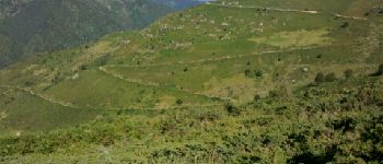
Pyrénées-140902 - Lers-Tour3Seigneurs

randodan
User
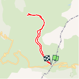

Length
8.6 km

Max alt
1592 m

Uphill gradient
222 m
Km-Effort
11.5 km

Min alt
1502 m

Downhill gradient
224 m
Boucle
Yes
Creation date :
2014-12-10 00:00:00.0
Updated on :
2014-12-10 00:00:00.0
4h20
Difficulty : Easy

FREE GPS app for hiking
 SityTrail
IGN / Geographical institutes
SityTrail Plus
The world is yours!
About
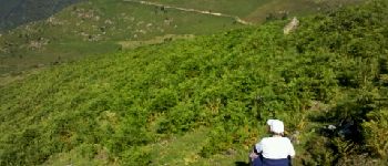
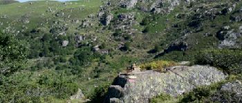
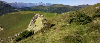
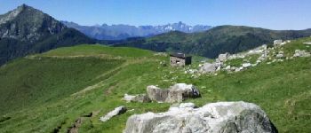
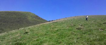
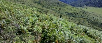
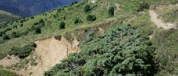
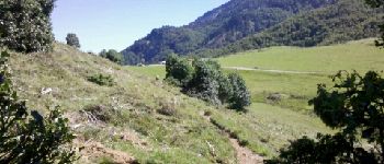
Trail Walking of 8.6 km to be discovered at Occitania, Ariège, Le Port. This trail is proposed by randodan.
Photos


Points of interest


Positioning
Country:
France
Region :
Occitania
Department/Province :
Ariège
Municipality :
Le Port
Location:
Unknown
Start:(Dec)
Start:(UTM)
370122 ; 4740560 (31T) N.
Comments